Home/ Gallery
Drone video and photos of the Pavones land
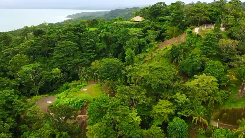
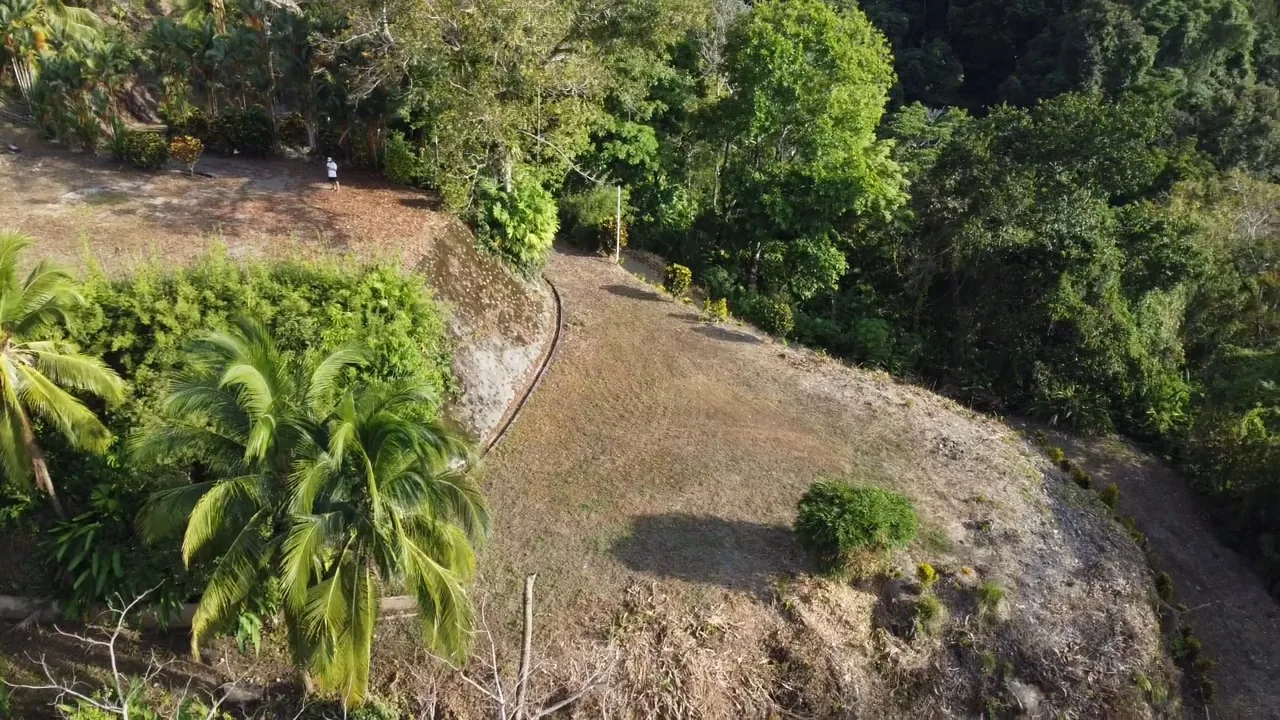
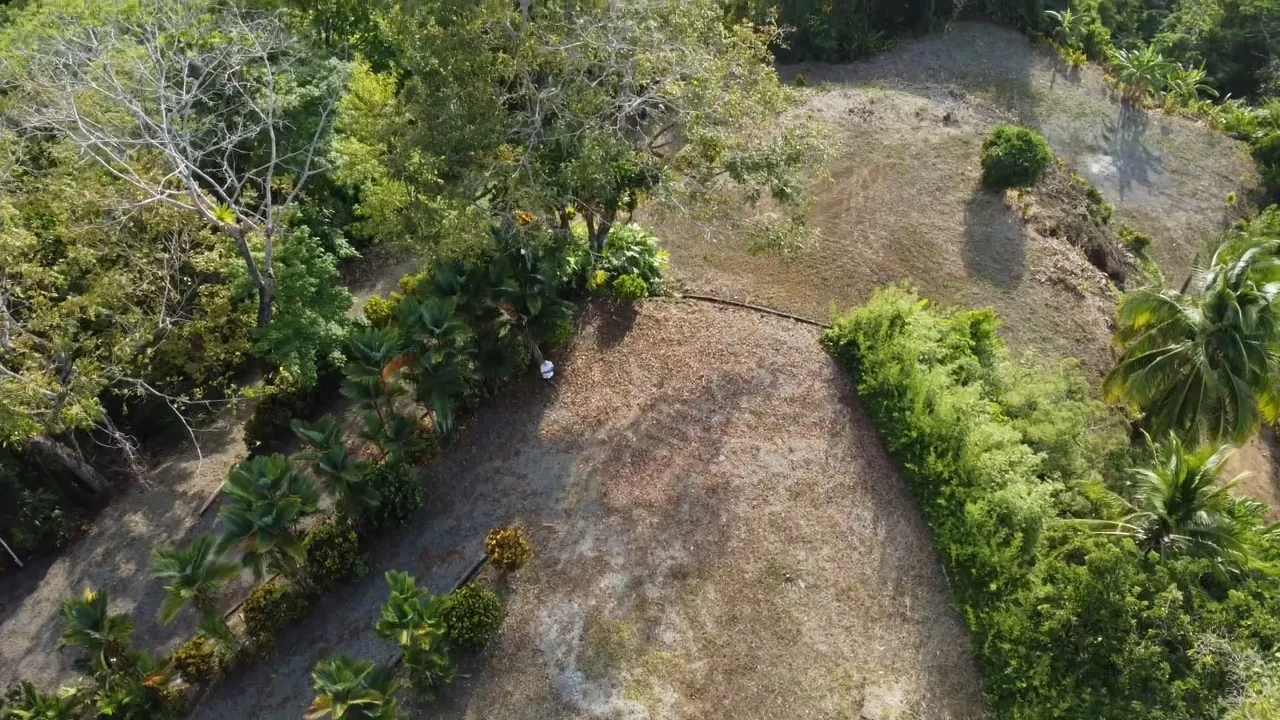
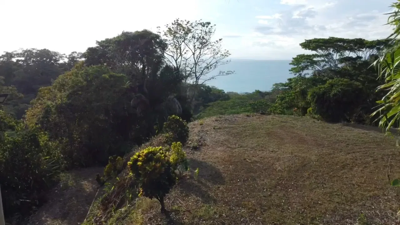
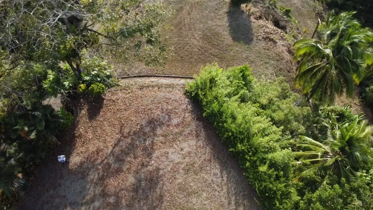
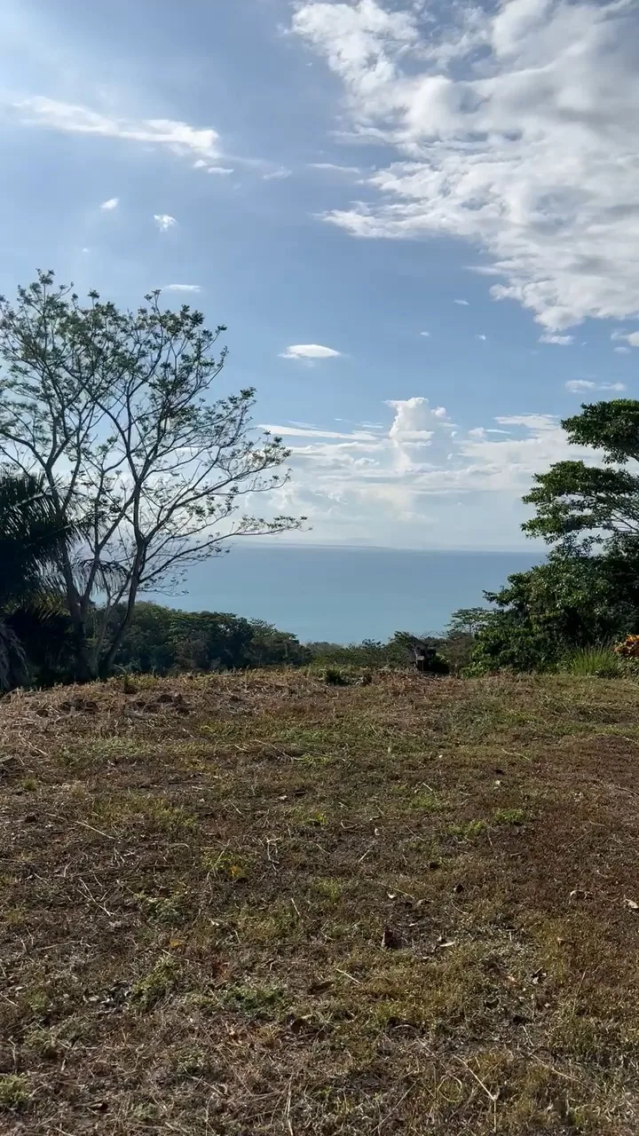
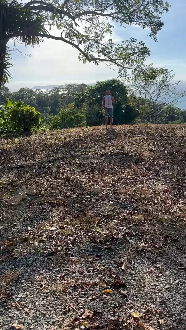
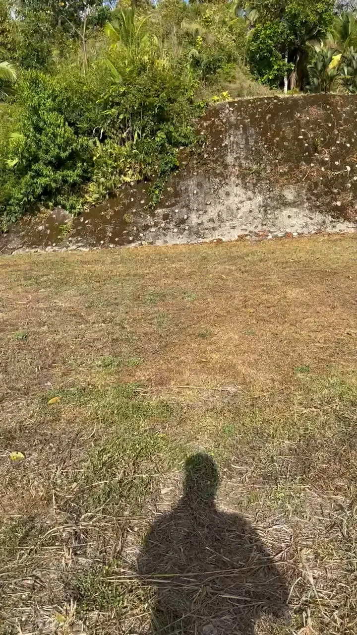
Real drone footage and ground photos of the ridge in La Yerba — the three terraces, the walls, the pool, the forest and the gulf. No staging, no renders.
Real drone footage and ground photos of the ridge in La Yerba — the three terraces, the walls, the pool, the forest and the gulf. No staging, no renders.

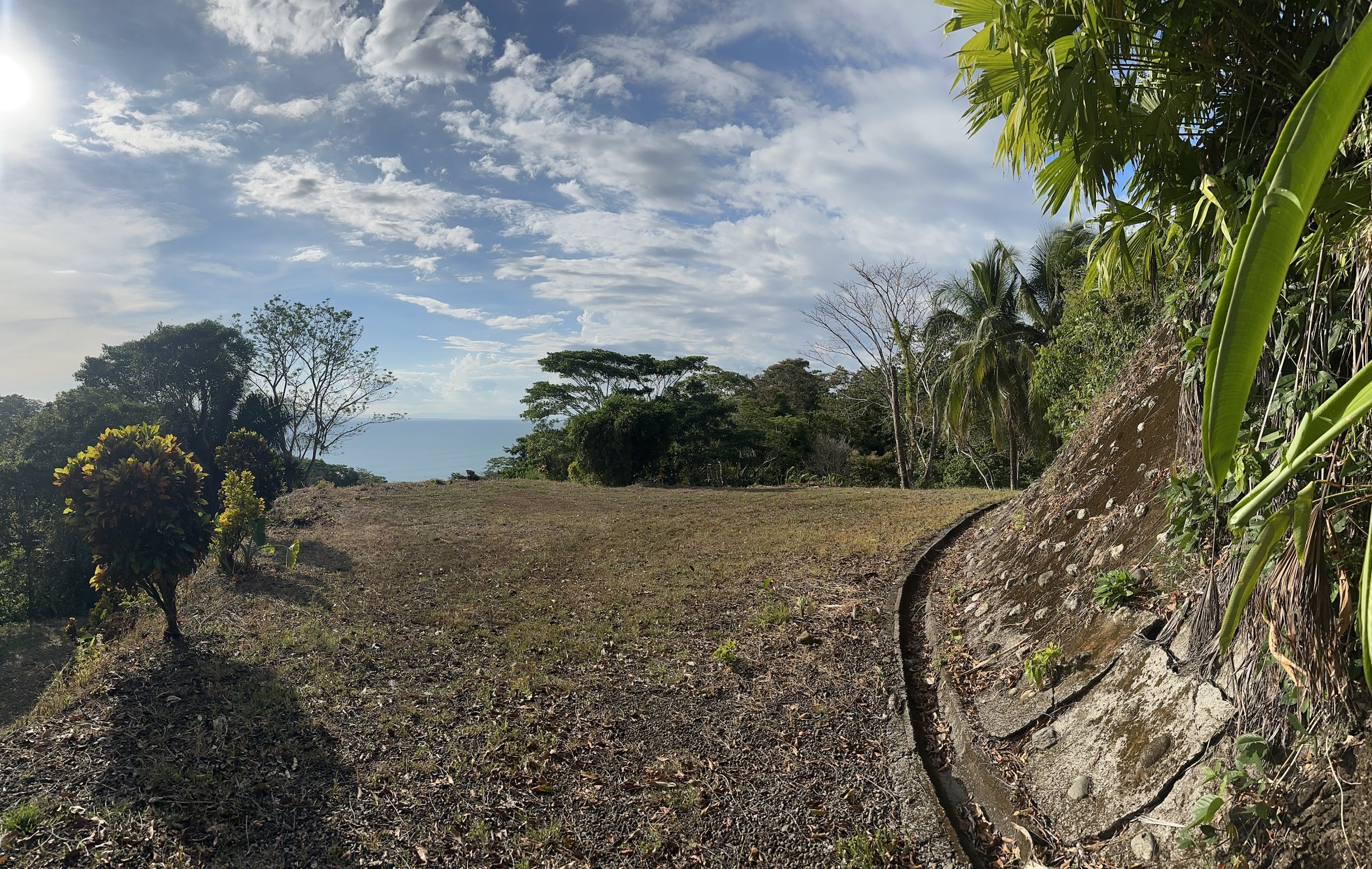
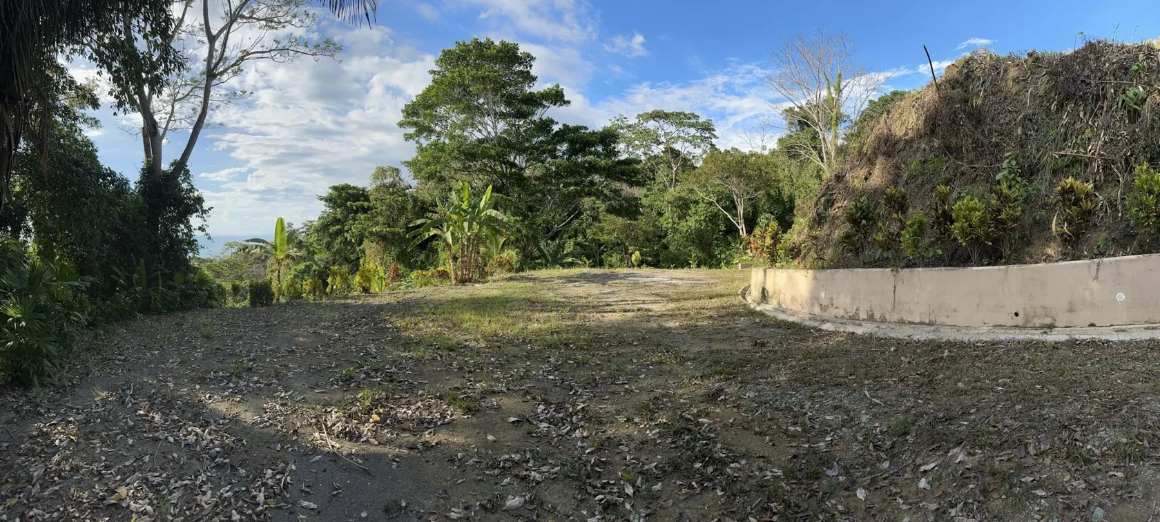


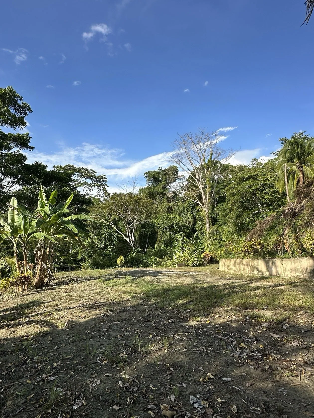
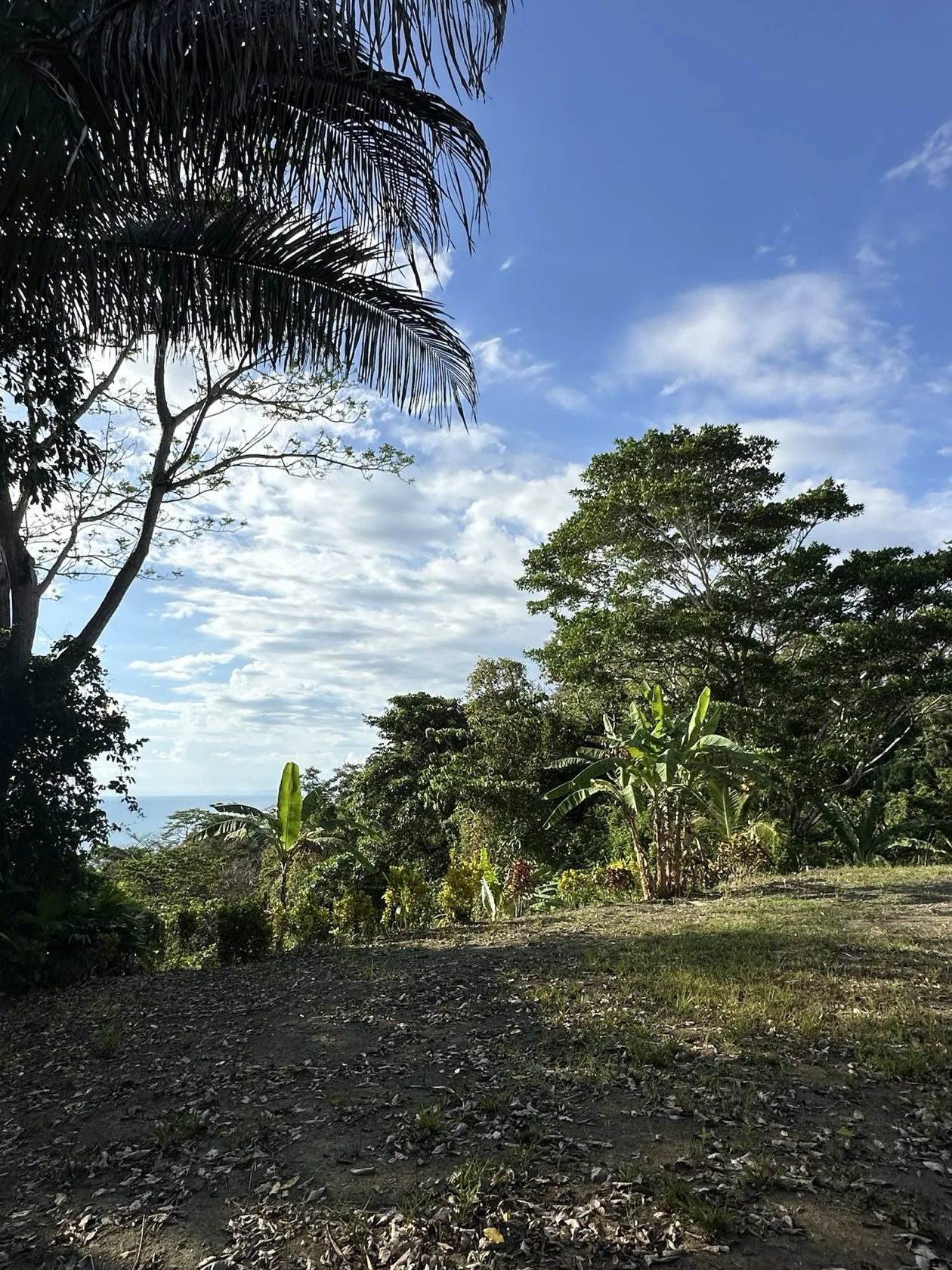
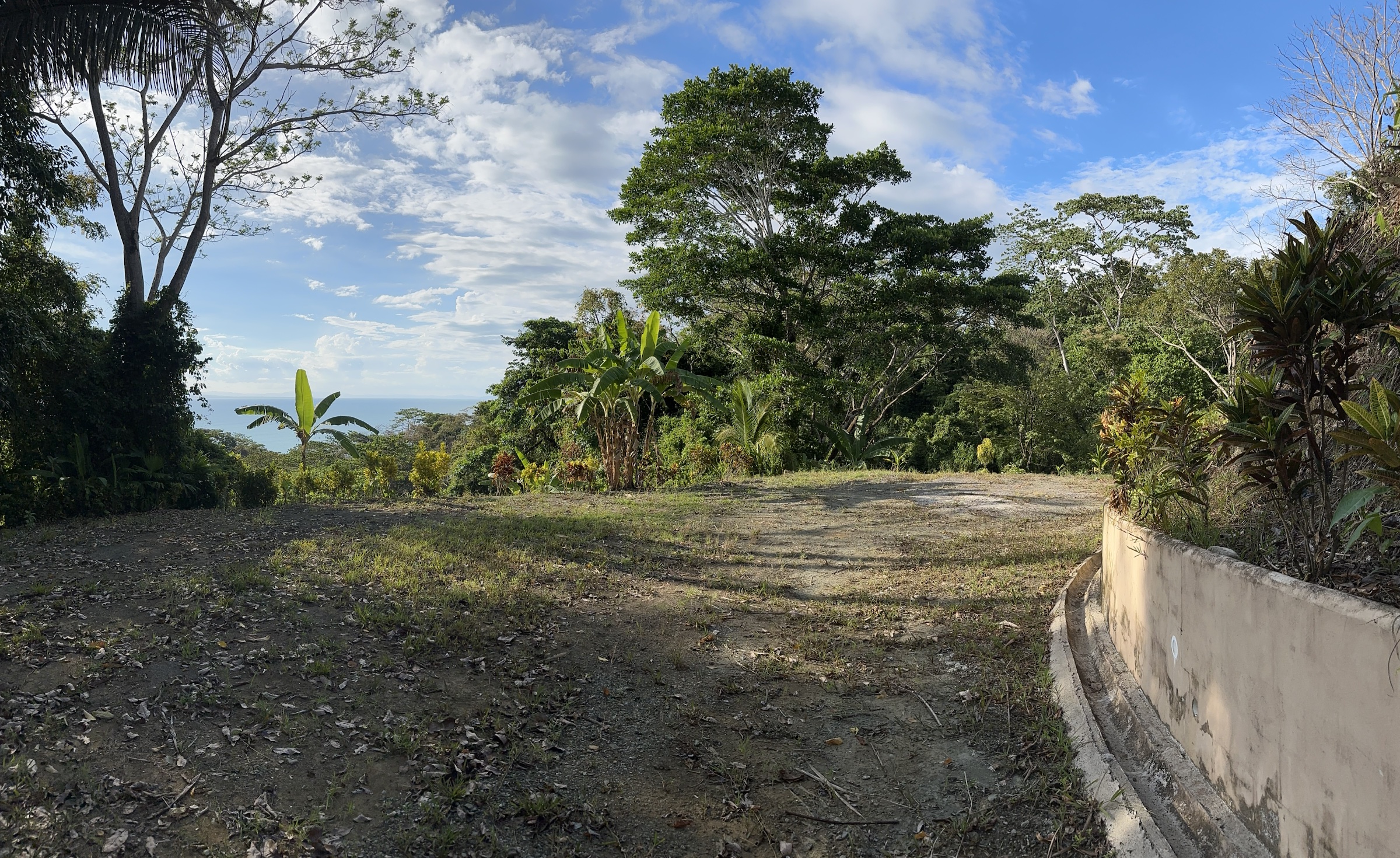
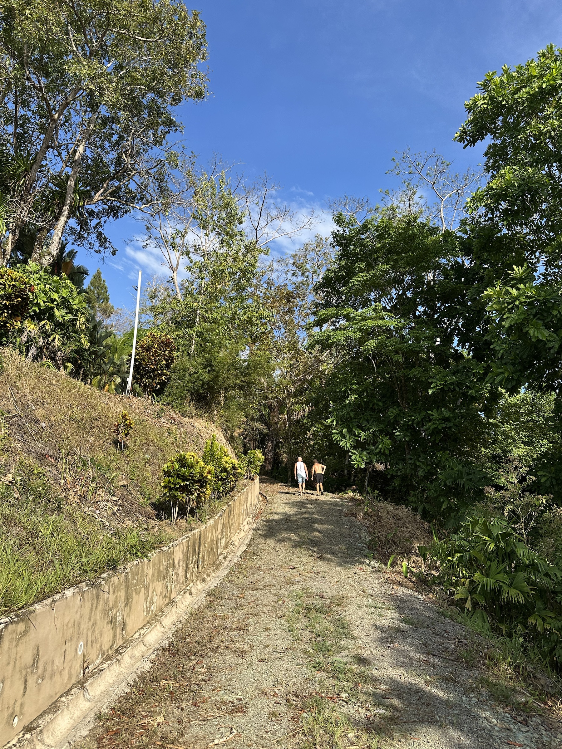

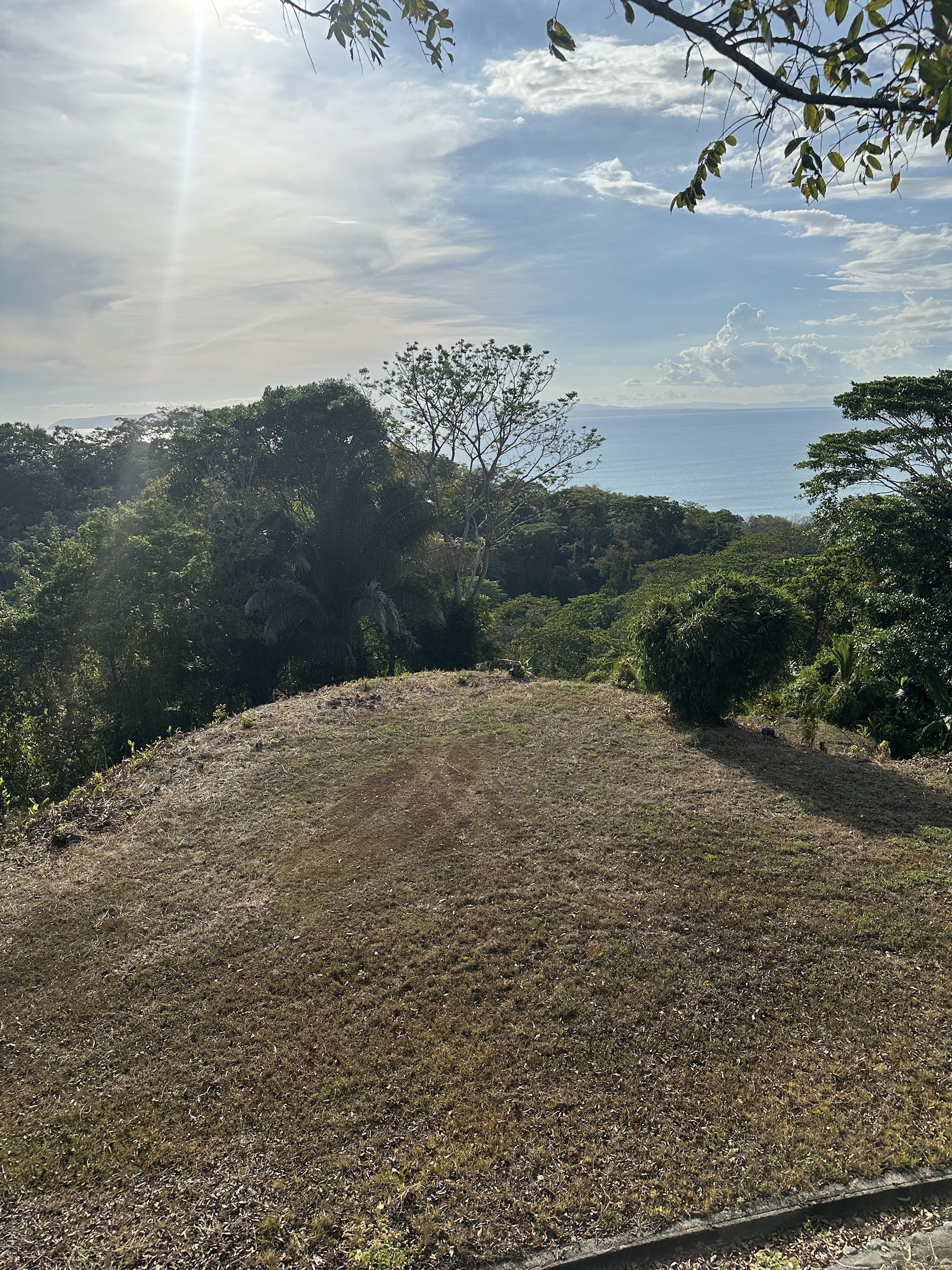
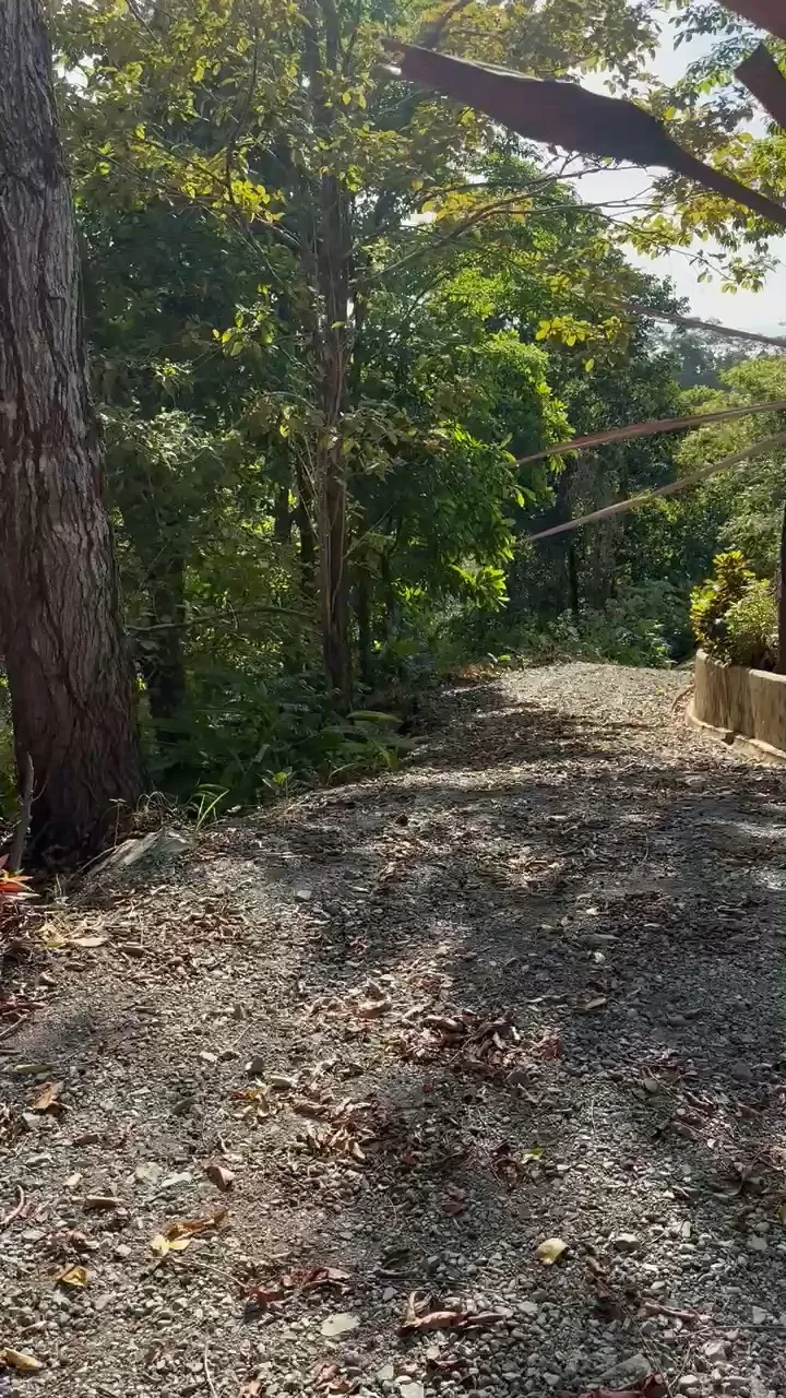
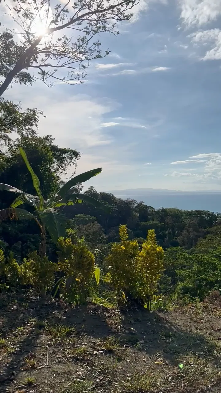
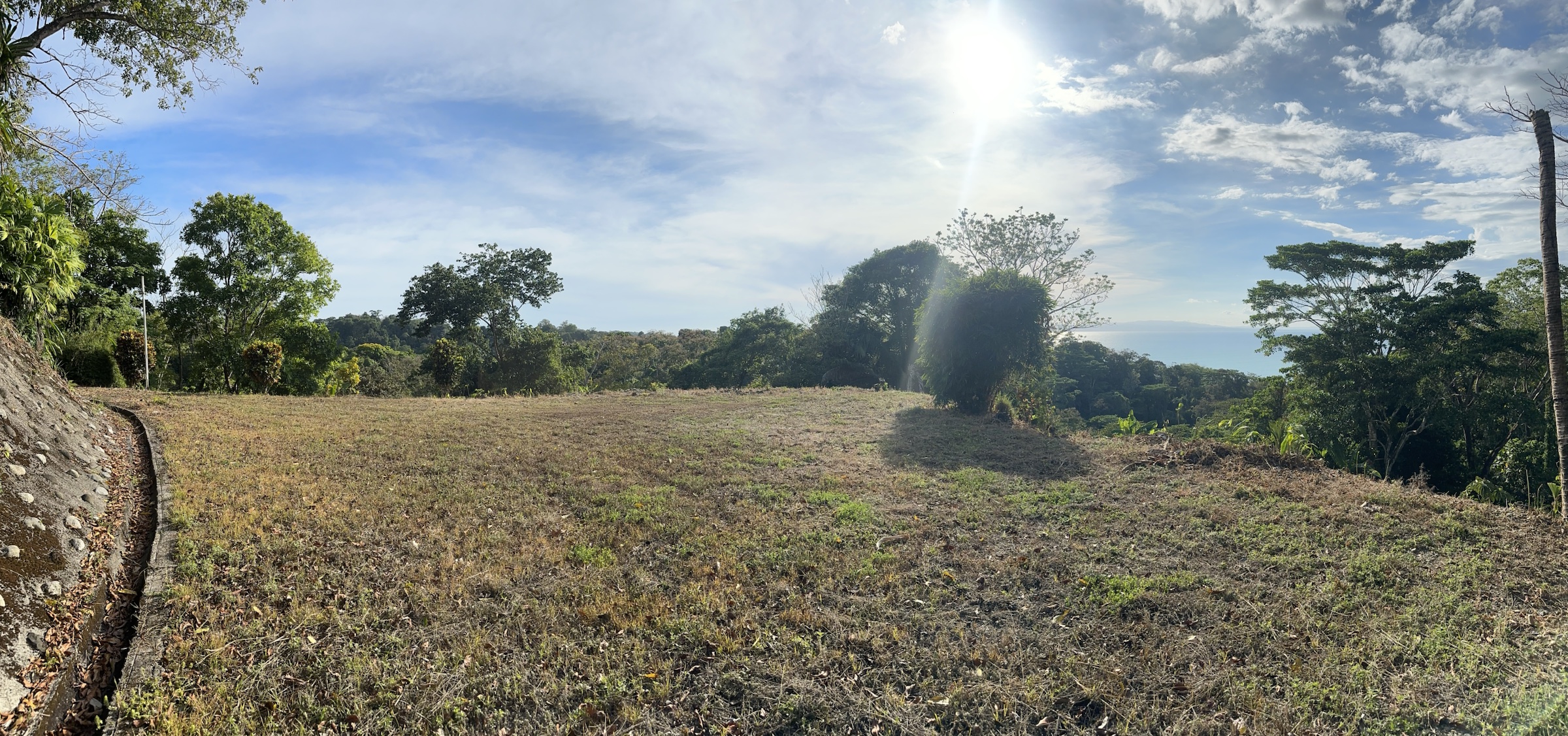
The drone videos start wide — the jungle ridge above Rio Claro de Pavones with the Golfo Dulce behind it — and then fly along the buildable sector, where heavy machinery has cut three level terraces into the top of the hill. The walk-through clips are filmed on the ground: the internal gravel road climbing to the terraces, the first platform framed by palms, the ocean opening up from the second, and the view from the top, where the pool sits.
The photos show what the drone cannot: the engineered retaining walls, the drainage channels (cunetas) built for the rainy season, the gravel roads and the light on the ridge at sunset.
The property is in La Yerba, district of Pavón, canton of Golfito, Puntarenas — about 750 m east of the Rio Claro de Pavones supermarket and roughly a 12-minute drive from the Pavones point. The terraces sit 78–152 m above sea level, which is why the videos look down on the gulf rather than across it. The GPS reference is 8.409° N, −83.107° W; the title, the forest and buildable split and the INTA studies are summarised on the land and legal page.
Want a specific angle, the original files, or a live video walk of the terraces before you travel? Ask the owner on WhatsApp — or come and walk it in person.
No agents in the middle — ask the price, request documents or arrange a visit, straight on WhatsApp.